Cover Story
Clearing a safer path: AI-powered iceberg detection
Frances Marcellin investigates a new AI-driven approach that detects icebergs and floating ice with a 94% success rate.

As the cruise industry sails past pre-pandemic levels – reaching 31.7 million passengers in 2023, surpassing 2019 by 7% – the expedition cruise sector is full steam ahead.
According to the Expedition Cruise Network, 71% of members say that business increased throughout 2023 and over half report the average booking to be around £8,000 per person. Valued at $2.39bn in 2023, it is expected to increase at a CAGR of 17% reaching $4.5bn by 2031.
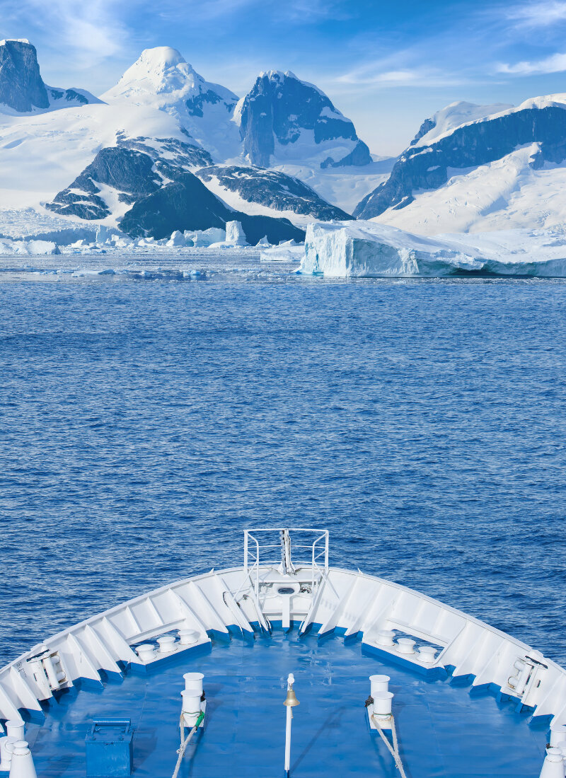
Although capacity has been stymied by some ships exiting service and the sector adjusting to new entrants, growth is expected to return as passengers seek more adventurous experiences. As expedition continues to become synonymous with luxury, safety assurances for guests will be increasingly important, particularly with navigation systems encountering additional challenges due to climate change and the development of new dynamic itineraries.
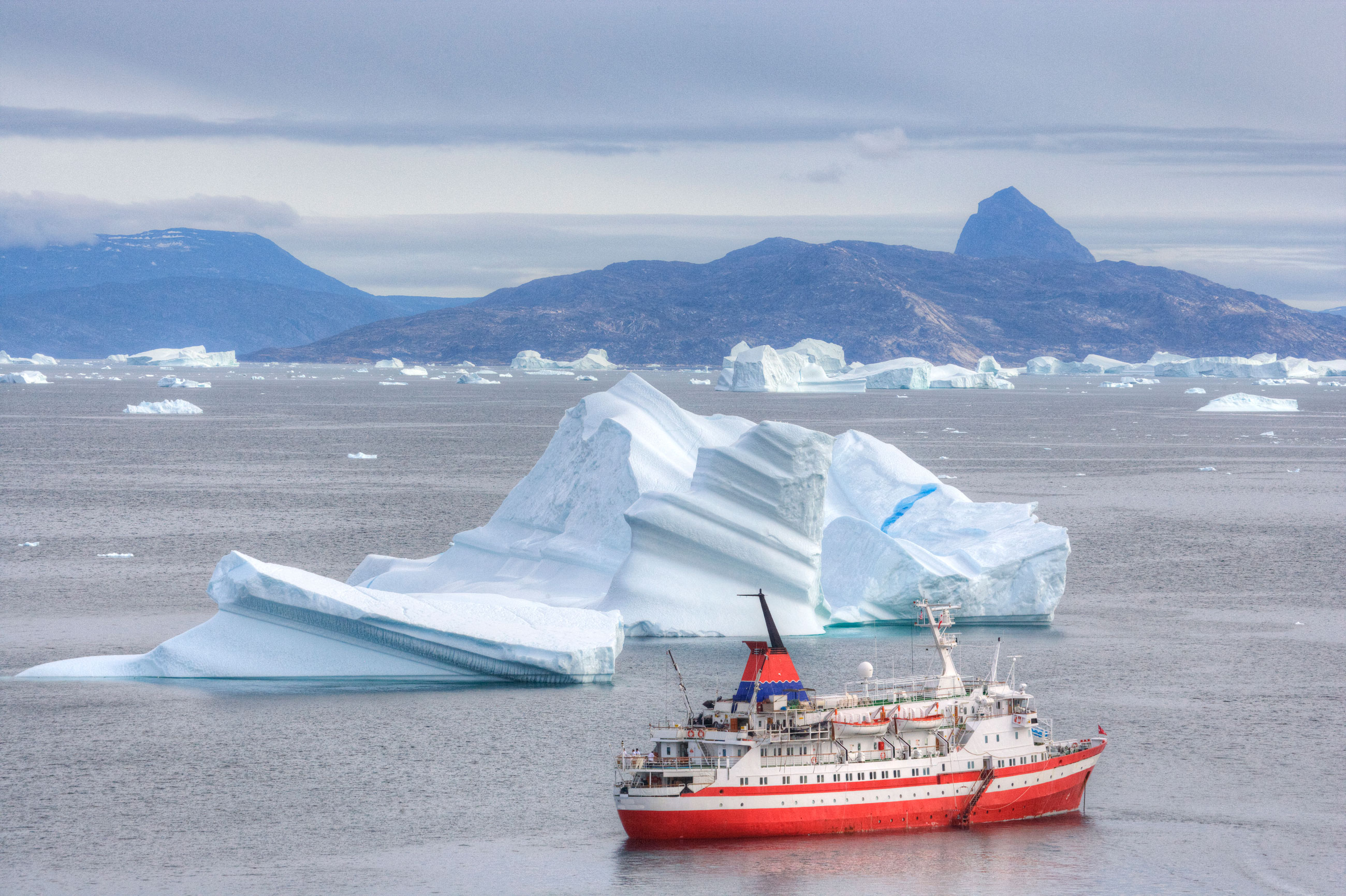
Incidents in these colder climes have increasingly hit mainstream media over the last few years. For example, in September 2024, Carnival Spirit collided with floating ice at the Tracy Arm Fjord in Alaska, but did not harm the ship or passengers, and in 2022, Norwegian Sunhit an Alaskan iceberg, resulting in itinerary cancellations and repairs.
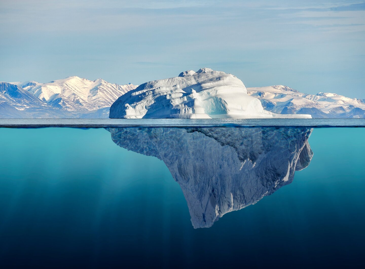
Although iceberg collisions aren’t a common occurrence, those involving floating ice – sometimes called growlers – are more likely. And it isn’t only the tourism industry that’s affected – the safety and production of other maritime activities, such as fishing and oil and gas operations, are also impacted by the forming and calving of icebergs.

From galaxy clusters to icebergs
Cruise ships use a combination of radar, sonar, satellite technology and human observation to guide detection, yet their effectiveness can be impaired by weather events or unexpected natural occurrences.
But astrophysicist Dr John Stott, a senior lecturer at Lancaster University in the UK, believes that he has found a solution in a new approach combining AI and synthetic aperture radar (SAR) data, which could address concerns around limited detection range and visibility issues.
Having been awarded a £300,000 grant by the UK’s Science and Technology Facilities Council (STFC) for commercialisation, he and researcher Dr Sonny Bailey, are now progressing towards a commercially viable product.

The system was originally developed – and recorded in a paper Stott authored in 2019 – to characterise galaxy clusters in large images of the sky. These large structures can be difficult to identify, much like icebergs.
This new iteration aims to improve detection for all impacted maritime operators. “We looked to apply our technique to areas beyond astrophysics and the vision for this project is to further develop our automated iceberg and sea ice detection system, such that it can be used as a commercial product,” explains Stott.
“The project uses region-based convolutional neural networks (CNNs) to find icebergs and sea ice in satellite radar imaging, in order to improve maritime safety.”
CNNs are a type of deep learning model which analyse visual data and identify patterns by learning spatial hierarchies. Even if there is ice or cloud cover, their pattern detection ability is not impaired whereas SAR images are affected by low lighting or atmospheric interference.
Stott explains that the system takes a large area of SAR ocean images from satellites and then identifies icebergs and sea ice in any cloud condition with a 94% success rate.
“But when we move to bigger images covering large areas of the Arctic, we get around 80% accuracy, so there is a trade-off there, depending on speed and what a potential customer would want,” he adds. “However, this is still highly competitive.”
Improving ROI and reputation
In a bid to improve upon results from modern radar technology, the team is committed to reducing the two or three shipping incidents involving icebergs each year in the Northern Hemisphere and the ensuing costs from, among other things, diversionary routes, vessel repair and false radar alarms.
“Broadly, icebergs are pieces of ice in the sea that have broken away from a glacier and sea ice is thick ice that has formed in-situ,” Stott says. “Ice that formed during the previous winter is of the greatest concern to shipping.”
The iceberg detection system has a variety of use cases across the industry’s sectors. For ice-charting organisations that tend to use low frequency radar images, Stott’s solution would improve results by operating at a finer spatial resolution.
Contingency and mitigating environmental risks from marine LNG or oil transportation are among the most useful applications for the oil and gas industry. For fishing, the method could reduce the costs of ship damage and improve ROI.
Riding the expedition wave it could help expedition cruise companies to further leverage passenger enthusiasm for expedition cruising offering improved detection systems and greater safety while mitigating reputational risks.
Next steps involve live testing which will allow the team to compare algorithm predictions to the conditions seen by the ship at the same time.
“For now, the aim is to send the locations of these potential hazards to clients within the UK and global maritime industry,” said Stott, “including merchant shipping, fishing, tourist vessels, and shipping insurers.”